To understand Kaliningrad’s modern strategic importance, we must first understand its geography—both the physical landscape sculpted by ice and water, and the human landscape reshaped by war and politics.
The Lay of the Land: A Coast of Lagoons and Chokepoints
Kaliningrad sits on the southeastern coast of the Baltic Sea, a small territory of just over 15,000 square kilometers (about the size of Connecticut or Timor-Leste). It is an exclave, a piece of a country’s territory geographically separated from the main part. It is bordered by Lithuania to the north and east, and Poland to the south, making it completely encircled by members of both the European Union and the NATO alliance.
The region’s physical geography is dominated by water. As part of the vast North European Plain, the terrain is low-lying, flat, and crisscrossed by rivers, most notably the Pregolya River, which flows through the oblast’s main city, also named Kaliningrad. The coastline is defined by two massive, shallow freshwater lagoons separated from the open Baltic by long, thin sandbars called spits:
- The Curonian Spit and Lagoon: A 98-kilometer-long spit, shared with Lithuania to the north, encloses the Curonian Lagoon. This UNESCO World Heritage site is a fragile ecosystem of shifting sand dunes and pine forests.
- The Vistula Spit and Lagoon: To the southwest, the Vistula Spit, shared with Poland, separates the Vistula Lagoon from the Gdańsk Bay.
These features create sheltered harbors, but they also highlight Kaliningrad’s most critical geographical asset: the port of Baltiysk. Located on the Strait of Baltiysk, which connects the Vistula Lagoon to the sea, it is Russia’s only year-round, ice-free port on the Baltic Sea. While St. Petersburg freezes over in winter, the naval base at Baltiysk remains fully operational, giving the Russian Baltic Fleet permanent access to the Atlantic.
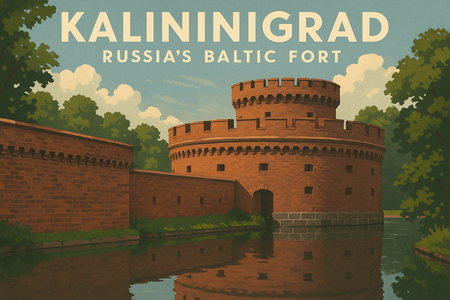
From Königsberg to Kaliningrad: A Land Redrawn by War
Kaliningrad’s geography cannot be separated from its turbulent history. For over 700 years, this land was not Russian at all. It was the heart of East Prussia, and its capital city was the German metropolis of Königsberg. Founded in 1255 by the Teutonic Knights, Königsberg became a flourishing center of the German world, the coronation city of Prussian kings, and home to luminaries like the philosopher Immanuel Kant.
This all changed in 1945. At the end of World War II, the victorious Allied powers met at the Potsdam Conference to redraw the map of Europe. As retribution for German aggression, East Prussia was dissolved. Its southern part was given to Poland, while the northern third, including Königsberg, was annexed by the Soviet Union.
What followed was a dramatic and brutal transformation of the region’s human geography. The German population that had not fled the advancing Red Army was forcibly expelled. In their place, the Soviets repopulated the territory with citizens from across the USSR. Streets, towns, and cities were renamed—Königsberg became Kaliningrad, after Bolshevik revolutionary Mikhail Kalinin. The German past was systematically erased, replaced by a new Soviet identity.
For decades, Kaliningrad was just another region of the vast Soviet empire. But with the collapse of the USSR in 1991, the map shifted once more. Lithuania declared independence, and suddenly, Kaliningrad was physically cut off from the rest of Russia, an exclave in a newly configured Eastern Europe.
The Suwałki Gap: NATO’s Achilles’ Heel
The creation of the exclave also created one of NATO’s biggest strategic headaches: the Suwałki Gap (or Suwałki Corridor). This is the name military planners give to the roughly 100-kilometer (65-mile) stretch of the Polish-Lithuanian border. Why is this small strip of farmland and forest so important?
Because it is the only land link connecting the Baltic states of Lithuania, Latvia, and Estonia to the rest of the NATO alliance. To its west lies Kaliningrad. To its east lies Russia’s staunch ally, Belarus. In a conflict scenario, Russian forces could, in theory, surge from both sides to close the gap, effectively cutting the Baltic states off from reinforcement by land. This geographical chokepoint makes Kaliningrad not just a defensive outpost for Russia, but a potential offensive springboard.
Russia’s Baltic Fort: A Modern Military Stronghold
Today, Kaliningrad functions as Russia’s “Baltic Fort.” It is one of the most heavily militarized regions in Europe, home to the headquarters of the Russian Baltic Fleet, tens of thousands of troops, airbases, and advanced weaponry.
Its strategic power lies in its ability to project what military strategists call an Anti-Access/Area Denial (A2/AD) bubble. By stationing powerful weapon systems in the exclave, Russia can threaten and hold at risk NATO forces across a wide swath of Eastern Europe. Key assets include:
- S-400 Air Defense Systems: These advanced surface-to-air missiles can target aircraft, drones, and cruise missiles hundreds of kilometers away, covering parts of Poland, Lithuania, and the Baltic Sea itself.
- Iskander-M Ballistic Missiles: These mobile, short-range ballistic missiles have a range of up to 500 kilometers. They are nuclear-capable and can strike targets as far away as Warsaw, Vilnius, and even Berlin.
- Coastal Defense Missiles: Bastion and Bal anti-ship missile systems can threaten any naval vessel operating in the southeastern Baltic.
The placement of these systems acts as a powerful geopolitical lever. Every time Russia moves Iskander missiles into Kaliningrad or conducts a large-scale military drill, it sends a clear and threatening signal to its neighbors and the wider NATO alliance. It is a constant reminder of Russian power, located deep inside what NATO considers its own territory.
Kaliningrad is a land of paradoxes. It is a vulnerable Russian outpost, dependent on transit agreements with the EU for its survival. Yet, it is also a formidable military fortress that complicates NATO’s defense planning and projects Russian influence far beyond its borders. Born from the ashes of one world war and shaped by the end of the Cold War, the unique geography of this Baltic exclave ensures it will remain a critical, and potentially volatile, piece on the European chessboard for years to come.