Close your eyes for a moment and imagine walking through a city. What do you perceive? Beyond the blare of horns and the visual mosaic of streets and buildings, there is another layer, an invisible architecture that shapes our experience: the world of smell. From the comforting aroma of a bakery wafting down a side street to the sharp tang of diesel fumes at a busy intersection, every city has a unique olfactory signature. But what if we could capture and chart this ephemeral landscape? Welcome to the fascinating field of olfactory cartography, where geographers, artists, and data scientists are creating “scent maps” to chart the smells of our urban environments.
From Smellwalks to Data Points: The Art of Olfactory Cartography
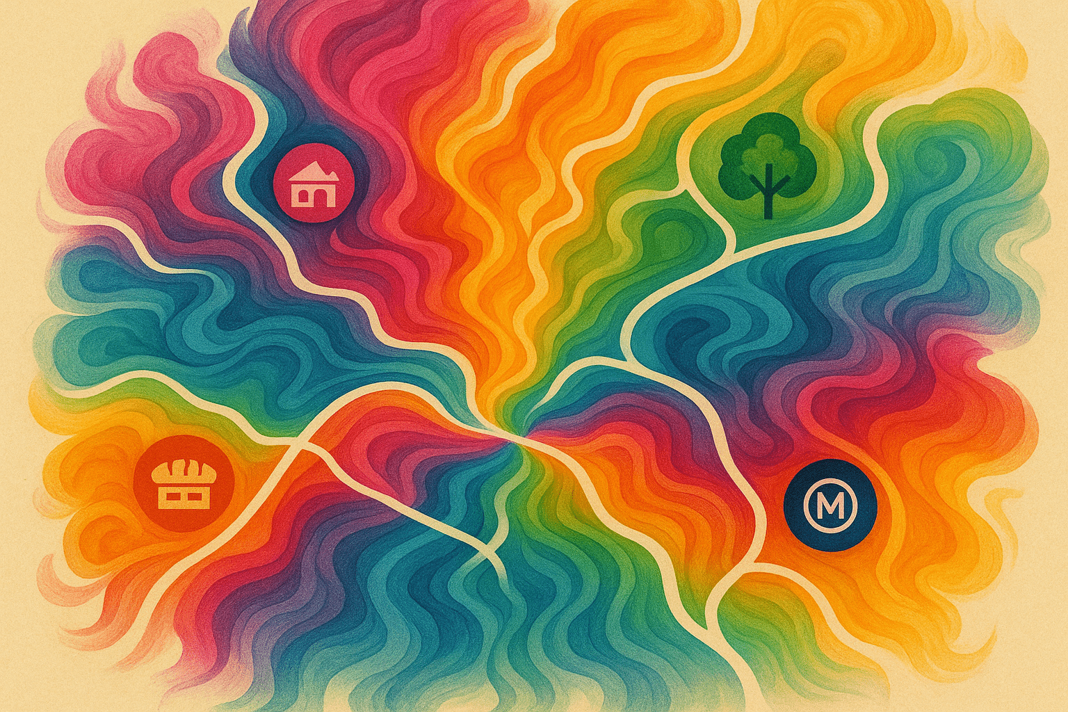
At its core, olfactory cartography is the practice of systematically identifying, documenting, and visually representing the smells of a particular place. It’s a subfield of geography that moves beyond the visual, acknowledging that our sense of place is a full-body, multi-sensory experience. So, how does one map something as fleeting as a scent?
The methodologies are as creative as the subject itself. One of the most common techniques is the “smellwalk.” Pioneered by researchers like UK-based artist and designer Kate McLean, smellwalks involve participants traversing a pre-planned route through a city. Armed with notebooks and a keen sense of smell, they pause at regular intervals to document what they perceive. They record not just the scent itself (e.g., “roasted coffee”, “damp soil”, “perfume”) but also its intensity, its character (pleasant, unpleasant, stimulating), and its precise location.
These qualitative notes are then translated into stunning visual data. McLean’s maps are often beautiful, abstract creations where scents are represented by colourful polygons and evocative text, creating what she calls a “sensory notation.”
Another approach leans on the power of big data. Researchers like Daniele Quercia have mined social media platforms like Instagram and Flickr for geo-tagged photos with smell-related captions and tags (“#bakery”, “#blossom”, “#pollution”). By aggregating millions of these digital data points, they can build a “smell dictionary” for a city and map out odour hotspots, revealing patterns that would be impossible to capture on foot alone.
Charting the Smellscapes of Global Cities
These innovative techniques have allowed us to “see” the smellscapes of cities around the world, revealing their unique geographical and cultural character.
- London & Barcelona: Using their data-driven approach, researchers from Yahoo Labs and the University of Cambridge mapped the smells of London and Barcelona. They found that urban smells largely fell into a few key categories: traffic and industry, food, and nature. Their maps vividly illustrated the olfactory battlegrounds of the city: industrial emissions clustered along major roadways, while the scents of nature bloomed in parks and green spaces. Food smells, predictably, concentrated in commercial and residential centres.
- New York City: Kate McLean’s work in NYC has captured the olfactory diversity of its boroughs. A walk through one part of Brooklyn might yield notes of “fried food”, “incense”, and “laundry”, reflecting a dense, residential, and multicultural community. A stroll through a park in Manhattan, by contrast, might be dominated by “plants”, “dogs”, and “food carts”, painting a picture of urban leisure.
- Edinburgh, Scotland: In Edinburgh’s Old Town, smellmaps have captured a historic tapestry of aromas. The dominant scents aren’t just from modern life but are tied to its very geography and history: the malty, yeasty smell from breweries, the smoky hint of coal fires lingering in the air, and the distinct dampness of old stone buildings—a direct consequence of the city’s climate and architecture.
The Human and Physical Geography of Smell
Scent maps are far more than a novelty; they are a powerful tool for geographical analysis, revealing deep insights into both human and physical geography.
From a human geography perspective, a scent map is a map of human activity. The distribution of odours tells a story about a city’s economy, social fabric, and urban planning.
- Economic Activity: The prevalence of industrial or exhaust smells can pinpoint manufacturing zones and high-traffic corridors, sometimes highlighting issues of environmental justice where these unpleasant odours are concentrated in lower-income neighbourhoods.
- Culture and Community: The dense clustering of food smells in an area like Singapore’s hawker centres or the spice markets of Marrakech is a direct map of cultural life and culinary heritage.
- Urban Change: Scent maps can even track gentrification. As an old industrial neighbourhood transforms, the smell of grease and metal might be slowly replaced by the aroma of artisanal coffee, fresh paint, and expensive perfumes—an olfactory signpost of demographic and economic shifts.
Smells are also intrinsically linked to physical geography. The natural environment imprints its own scent signature on a city. The briny, salty air of coastal cities like Lisbon or Sydney is unmistakable. The scent of specific flora—like the cherry blossoms in Kyoto or the eucalyptus trees in Los Angeles—becomes a seasonal marker of place. Even climate plays a role. The smell of petrichor, the earthy scent produced when rain falls on dry soil, is a universally recognized but geographically specific phenomenon, smelling different in a desert oasis than in a temperate forest.
Scent, Memory, and the Soul of a City
Perhaps the most profound aspect of olfactory geography is its connection to memory. The olfactory bulb is directly linked to the brain’s limbic system, where memory and emotion are processed. This is why a single smell can trigger a powerful, vivid memory—a phenomenon known as the “Proustian effect.”
The scent of a city, therefore, becomes part of our personal geography, woven into the memories we form there. The unique smell of the Paris Métro, a mixture of metallic brakes, electricity, and human bodies, is as much a part of the Parisian experience as the sight of the Eiffel Tower. The smell of street tacos and diesel in Mexico City or the humid, floral air of Bangkok defines those places in a way no photograph can.
By charting these smells, we are not just creating a new type of map. We are documenting the genius loci, the spirit of a place. In an increasingly globalized and sanitized world, these scent maps serve as a vital record of what makes our cities unique and, most importantly, what makes them feel like home.
So the next time you step outside, take a moment. Inhale. What does your city smell like? You might be surprised by the rich, invisible landscape that has been under your nose all along.