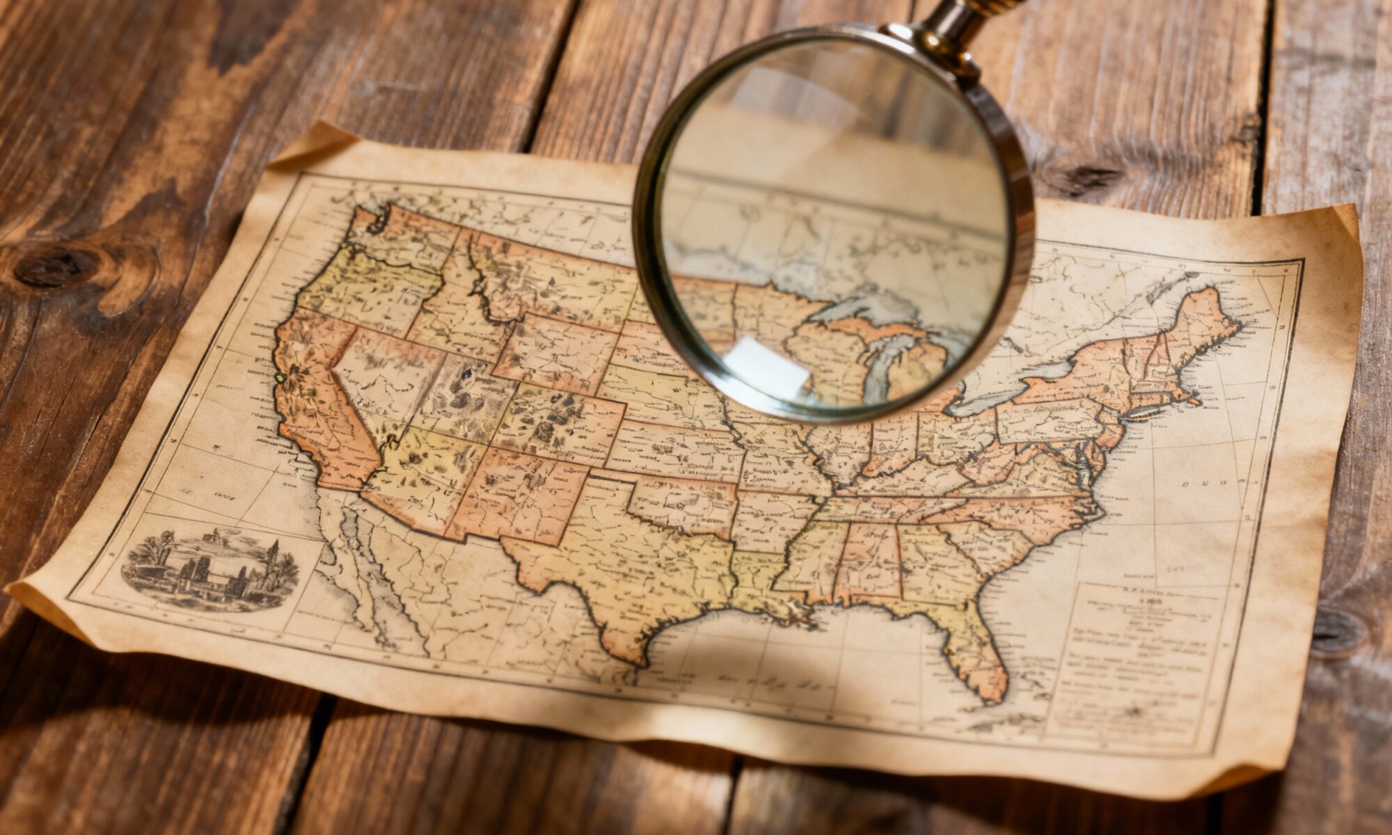
You’ve probably looked at a map of the United States a thousand times. It’s a familiar jigsaw puzzle of 50 pieces, instantly recognizable. But have you ever truly seen it? Have you ever wondered why the West is a collection of tidy rectangles while the East is a chaotic jumble of squiggles? Or how a single mountain range dictated the pace of a nation’s growth for over a century?
The map of the USA is more than just lines on paper; it’s a historical document, a geological survey, and a story of human ambition all rolled into one. Hiding in plain sight are the ghosts of treaties, the scars of geological events, and the invisible forces that shaped where and how Americans live. Let’s unfold the map and discover some of its best-kept secrets.
The Tyranny of the Straight Line: Why the West is So Square
One of the first things you’ll notice when comparing the eastern and western United States is the shape of the states. The original thirteen colonies have borders that meander along rivers, crest along mountains, and follow the lines of old colonial charters. They are organic, and frankly, a bit messy.
Then you look west of the Mississippi River. Suddenly, you see geometry take over. States like Colorado, Wyoming, and Utah are almost perfect rectangles. This isn’t a coincidence; it’s a policy. After the American Revolution, the young nation had a massive amount of new land and a massive amount of debt. The solution? The Land Ordinance of 1785.
This ordinance established a standardized system for surveying and selling land. The federal government created a massive grid system—the Public Land Survey System (PLSS)—based on lines of latitude and longitude. The entire continent was methodically carved into six-by-six-mile townships, which were further subdivided for sale. When it came time to create new states, it was far easier to draw borders along these already-established survey lines than to negotiate a border along a winding river.
This is why we have perfectly straight borders like the 49th parallel separating the US from Canada and the iconic Four Corners Monument, the only place in the country where you can stand in four states (Arizona, New Mexico, Colorado, and Utah) at once. The “square states” are a direct legacy of a government trying to impose order on a vast and untamed wilderness.
Rivers and Mountains: Nature as the Original Border-Maker
Before surveyors drew their straight lines, nature had already drawn its own. For centuries, physical geography was the ultimate arbiter of human movement and settlement.
The most formidable barrier for the early colonists was the Appalachian Mountains. This ancient mountain range runs from Georgia to Maine, and for nearly 150 years, it acted as a giant wall, effectively containing British settlement to the Atlantic seaboard. Crossing it was a treacherous undertaking, possible only through a few key gaps like the Cumberland Gap. This geographic confinement concentrated population and culture in the East, shaping the early American identity.
Once across the Appalachians, settlers encountered the continent’s greatest superhighway: the Mississippi River System. The Mississippi and its major tributaries, the Ohio and the Missouri, form a vast network that drains the entire interior of the country. This river system became the lifeblood of westward expansion, carrying people, crops, and goods. Control of its mouth at New Orleans was so critical that it drove Thomas Jefferson to make the Louisiana Purchase in 1803, doubling the size of the country overnight. Today, a glance at the map shows just how influential the river is, forming the borders of ten different states.
Other rivers tell similar stories. The Rio Grande wasn’t just a river; it became the contentious border with Mexico after the Mexican-American War in 1848, a line of demarcation that continues to shape politics and culture today.
Accidents and Oddities: The Quirks in the Map
Sometimes, the story behind a border is not one of grand policy or towering mountains, but of strange historical accidents, mapping errors, and political compromises.
- The Kentucky Bend: Look closely at the border between Kentucky and Tennessee. You’ll see a small chunk of Kentucky completely detached from the rest of the state, surrounded by Missouri and Tennessee. This isn’t a modern gerrymander; it’s the result of the massive New Madrid earthquakes of 1811-1812. The quakes permanently rerouted the Mississippi River, but the original border—defined by the river’s previous course—remained, leaving the “Bend” as a geographical exclave.
- The Oklahoma Panhandle: This oddly-shaped strip of land exists because of a series of compromises over slavery in the 19th century. When Texas was admitted to the Union as a slave state in 1845, the Missouri Compromise prohibited slavery north of the 36°30′ parallel. Texas had to cede its land north of that line, creating a stateless, lawless strip that later became part of Oklahoma Territory.
- The Northwest Angle, Minnesota: The small piece of Minnesota that juts north into Canada, separated from the rest of the US by the Lake of the Woods, is a classic mapping mistake. The 1783 Treaty of Paris, which ended the Revolutionary War, described the border as running from the Lake of the Woods to the “northwesternmost point” and then due west to the Mississippi River. The problem? The source of the Mississippi was actually south, not west, and the map they used was inaccurate. The result is the northernmost point in the contiguous United States, accessible by land only by driving through Canada.
The Ghost of Geography Past: How Landscape Shapes Our Cities
Geography’s influence doesn’t stop at borders. It dictates where population centers rise and fall. Consider the major cities of the East Coast: Philadelphia, Baltimore, Washington, D.C., and Richmond. Many of these are “Fall Line Cities.”
The Fall Line is the geologic boundary where the hard, ancient rock of the Piedmont plateau meets the soft, low-lying sediment of the Atlantic Coastal Plain. As rivers flow across this line, they create a series of rapids and waterfalls. In the colonial era, this line marked the head of navigation—the furthest point a boat could travel upriver from the ocean. These spots became natural hubs for trade and commerce, where goods were unloaded and ports were built. The waterfalls also provided a crucial source of power for the mills and factories that fueled the Industrial Revolution.
So the next time you look at a map of the United States, look closer. See the grid of Jeffersonian ambition, the natural barriers that shaped a nation’s destiny, and the quirky accidents of history. The map isn’t just a tool for navigation; it’s a detailed manuscript of the American story, waiting for you to read between the lines.