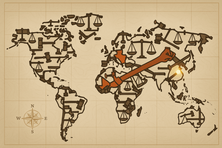
Decolonizing the Map: Renaming Rhodesia to Zimbabwe
When Rhodesia became Zimbabwe in 1980, it began a massive project of toponymic reform, literally redrawing its own map in an act of decolonization. This process of erasing colonial names…
Discover our planet, one place at a time
When Rhodesia became Zimbabwe in 1980, it began a massive project of toponymic reform, literally redrawing its own map in an act of decolonization. This process of erasing colonial names…
Volunteered Geographic Information (VGI) is a revolution in map-making, empowering ordinary citizens to map the world through platforms like OpenStreetMap. This rise of "citizen cartography" provides life-saving data for humanitarian…
The world map hanging in your classroom was a lie, but not a malicious one. This article explores the hidden politics of map projections, contrasting the familiar, colonial-era Mercator with…
** Look at a map of U.S. congressional districts and you might find some bizarre shapes resembling everything from earmuffs to praying mantises. This isn't accidental; it's the result of…
Beyond mere navigation, maps are powerful tools of protest. Discover how indigenous communities and activists are redrawing the world through counter-mapping, a form of resistance that uses cartography to challenge…