CONTENT:
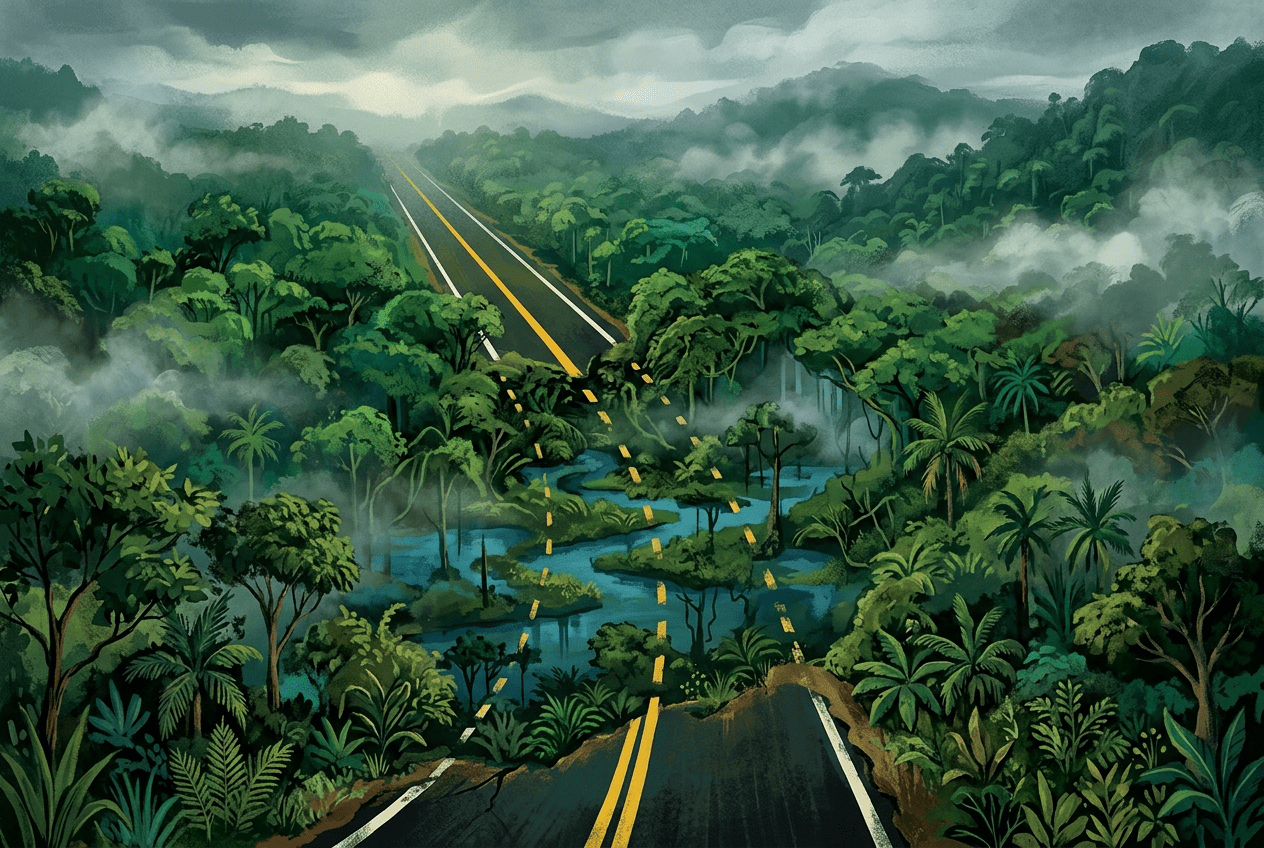
Imagine driving from Prudhoe Bay, Alaska, all the way to Ushuaia at the southern tip of Argentina—a journey of roughly 30,000 kilometers along the legendary Pan-American Highway. You’d cross deserts, mountain ranges, and more than a dozen international borders. But somewhere between Panama and Colombia, your journey would come to an abrupt halt. There, stretching for approximately 100 kilometers (60 miles), lies a dense expanse of rainforest, swamp, and mountains where no road has ever been completed: the Darién Gap.
This missing link in the world’s longest road system is more than a cartographic curiosity. It is a place where physical geography, politics, ecology, and human desperation collide in ways few other landscapes can match.
Where Exactly Is the Darién Gap?
The Darién Gap straddles the border between Panama’s Darién Province and Colombia’s Chocó Department. On the Panamanian side, the paved road ends at the small town of Yaviza, roughly 270 kilometers southeast of Panama City. On the Colombian side, the highway resumes near Turbo, a port town on the Gulf of Urabá. Between these two points lies a formidable natural fortress.
The terrain is a study in extremes. The northern portion features the rugged Serranía del Darién mountain range, with peaks like Cerro Tacarcuna rising to nearly 1,900 meters. The southern section, dominated by the Atrato River basin in Colombia, is one of the wettest places on Earth—a vast, waterlogged delta of swamps and mangroves where the Atrato deposits enormous quantities of sediment. Some parts of the Chocó region receive more than 10,000 millimeters of rain annually, making road construction an engineering nightmare.
Why Was the Gap Never Bridged?
The idea of completing the Pan-American Highway through the Darién is nearly as old as the highway itself. Planning conferences in the 1920s and 1930s envisioned a continuous route linking the Americas, and by the 1970s, serious construction efforts were underway. So what happened?
1. Brutal Physical Geography
Engineers face a trifecta of challenges: mountainous terrain, unstable swampland, and torrential rainfall. The Atrato swamps alone would require massive causeways or bridges across kilometers of saturated ground. Early survey expeditions, including the famous 1960 Trans-Darién Expedition, took months to cross terrain that a highway would need to traverse in hours. That expedition’s Land Rover and Jeep averaged just 200 meters per hour in the worst stretches.
2. Disease and Agriculture
One of the most decisive—and least known—reasons is foot-and-mouth disease. This livestock illness has historically been present in South America but absent from Central and North America. The Darién Gap acts as a natural quarantine barrier. In the 1970s, concerns from the United States Department of Agriculture about the disease spreading northward helped freeze funding for the road. A lawsuit by environmental groups in U.S. federal court in 1975 further halted American financial support.
3. Environmental and Indigenous Concerns
The region is home to Indigenous peoples including the Emberá, Wounaan, and Guna, whose territories and ways of life would be profoundly disrupted by a highway. Environmentalists also warned that a road would trigger deforestation, as has happened along virtually every highway punched through tropical rainforest, from the Trans-Amazonian Highway in Brazil onward. Panama’s Darién National Park, a UNESCO World Heritage Site since 1981, now protects much of the area.
4. Security and Politics
For decades, the Colombian side of the gap was a stronghold for guerrilla groups, paramilitaries, and drug traffickers. Building and maintaining a highway through contested territory was politically and practically impossible. Even today, criminal organizations control key routes through the region.
A Biological Barrier Between Continents
From an ecological perspective, the Darién Gap is not