Ever found yourself tangled in a map, wondering if you’re looking at England, Great Britain, or the United Kingdom? You’re not alone. This seemingly simple question opens a door to a complex and fascinating tapestry of history, culture, and, most importantly, geography. The United Kingdom is not one single country in the way France or Spain is; it’s a “country of countries”, a unique political union of four distinct nations, each with its own landscape, capital city, and identity.
Let’s unravel this geographical puzzle, taking a journey through the constituent parts of one of the world’s most influential unions.
First, Let’s Get the Names Straight
Before we explore the mountains, cities, and coastlines, let’s clarify the terminology. Think of it like a set of Russian dolls:
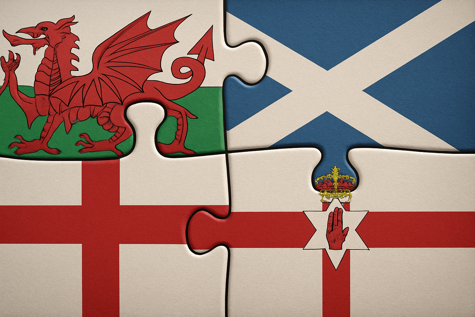
- The United Kingdom (UK): This is the official name of the sovereign state. It is comprised of four countries: England, Scotland, Wales, and Northern Ireland. When you refer to the UK, you’re talking about the entire political entity.
- Great Britain: This is a geographical term, not a political one. It’s the name of the large island that is home to three of those countries: England, Scotland, and Wales.
- The British Isles: This is an even broader geographical term for the entire archipelago. It includes the island of Great Britain, the island of Ireland (which contains both Northern Ireland and the independent Republic of Ireland), and over 6,000 smaller islands like the Isle of Man and the Channel Islands.
With that cleared up, let’s dive into the four countries that make up the UK.
England: The Green and Pleasant Land
England is the largest and most populous country in the UK, and its name is often used, incorrectly, to refer to the whole nation. Its geography is the foundation of the classic British pastoral image.
Physical Geography
England’s landscape is predominantly one of rolling hills and low-lying plains, especially in the south and east. Major rivers like the Thames, Severn, and Humber meander through fertile agricultural land. The geography becomes more rugged as you travel north, with the Pennines mountain range forming the “backbone of England”, and the stunning fells and lakes of the Lake District National Park offering some of the country’s most dramatic scenery.
Human Geography & Cities
Home to over 56 million people, England is densely populated. Its capital, London, is not just England’s heart but the UK’s primary economic and political hub. Other major cities tell the story of England’s industrial past and vibrant present: Manchester and Liverpool in the northwest were powerhouses of the Industrial Revolution, while Birmingham in the Midlands remains a crucial commercial centre.
Scotland: Land of Lochs and Mountains
Venture north of the border, and the geography changes dramatically. Scotland boasts a fierce independence of spirit, reflected in its wild and majestic landscapes.
Physical Geography
Scotland is famously divided into the Highlands and the Lowlands. The Scottish Highlands are a vast, sparsely populated region of breathtaking mountains (including Ben Nevis, the highest peak in the British Isles), deep valleys (glens), and freshwater lakes (lochs). The iconic Loch Ness and Loch Lomond are found here. The Lowlands, where most of the population lives, is a flatter, more fertile region. Scotland also includes over 900 offshore islands, including the Hebrides, Orkney, and Shetland archipelagos.
Human Geography & Cities
Most of Scotland’s 5.5 million people live in the “Central Belt” between its two major cities. Edinburgh, the historic capital, is famed for its castle perched on an extinct volcano. Glasgow, the largest city, is a vibrant, post-industrial hub known for its distinct architecture and music scene. The unique geography has led to a population distribution heavily skewed towards the south.
Wales (Cymru): A Land of Castles and Valleys
To the west of England lies Wales, a nation with a proud Celtic heritage, its own ancient language (Welsh, or Cymru), and a landscape defined by mountains and coastline.
Physical Geography
Wales is largely mountainous. The north is dominated by Snowdonia (Eryri), a national park home to Wales’ highest peak, Snowdon (Yr Wyddfa). In the south, the Brecon Beacons offer another expanse of wild, open moorland. Perhaps Wales’ greatest geographical asset is its coastline. The Pembrokeshire Coast Path stretches for 186 miles, tracing a shoreline of staggering cliffs, pristine beaches, and secluded coves.
Human Geography & Cities
The population of 3.1 million is concentrated in the south, a legacy of the coal and steel industries that once dominated the Welsh Valleys. The capital, Cardiff, has transformed from an industrial port into a modern, dynamic city. Nearby Swansea and Newport are other significant urban centres. The rugged geography means that vast swathes of central and north Wales remain sparsely populated and deeply rural.
Northern Ireland: A Tapestry of Green and Basalt
Across the Irish Sea lies the smallest country in the UK. Northern Ireland has a complex political history, but its geography is uniquely beautiful and accessible.
Physical Geography
At the heart of Northern Ireland’s geography is Lough Neagh, the largest freshwater lake in the British Isles. The landscape is one of rolling green hills, with notable mountain ranges like the Mourne Mountains providing a stunning backdrop to the coastline. The most famous geographical phenomenon is the Giant’s Causeway on the north coast. This UNESCO World Heritage Site is an area of about 40,000 interlocking basalt columns, the result of an ancient volcanic eruption.
Human Geography & Cities
Northern Ireland is the only part of the UK that shares a land border with a European Union country (the Republic of Ireland). Its population of 1.9 million is centred around its capital, Belfast. Famed as the birthplace of the Titanic, the city has undergone a remarkable regeneration. The second city, Derry/Londonderry, is a historic walled city of significant cultural importance.
United in Diversity
So, the UK is a single state, but it’s far from uniform. The political geography is also complex, with a system of “devolution” granting Scotland, Wales, and Northern Ireland their own governments with powers over domestic policy like health and education. England’s affairs, by contrast, are largely handled by the UK Parliament in Westminster.
From the flatlands of East Anglia to the peaks of the Scottish Highlands, and from the bustling metropolis of London to the quiet shores of a Welsh cove, the United Kingdom is a nation defined by its geographical diversity. It is a true union—four distinct countries, with four unique characters, woven together on a small collection of islands in the North Atlantic.