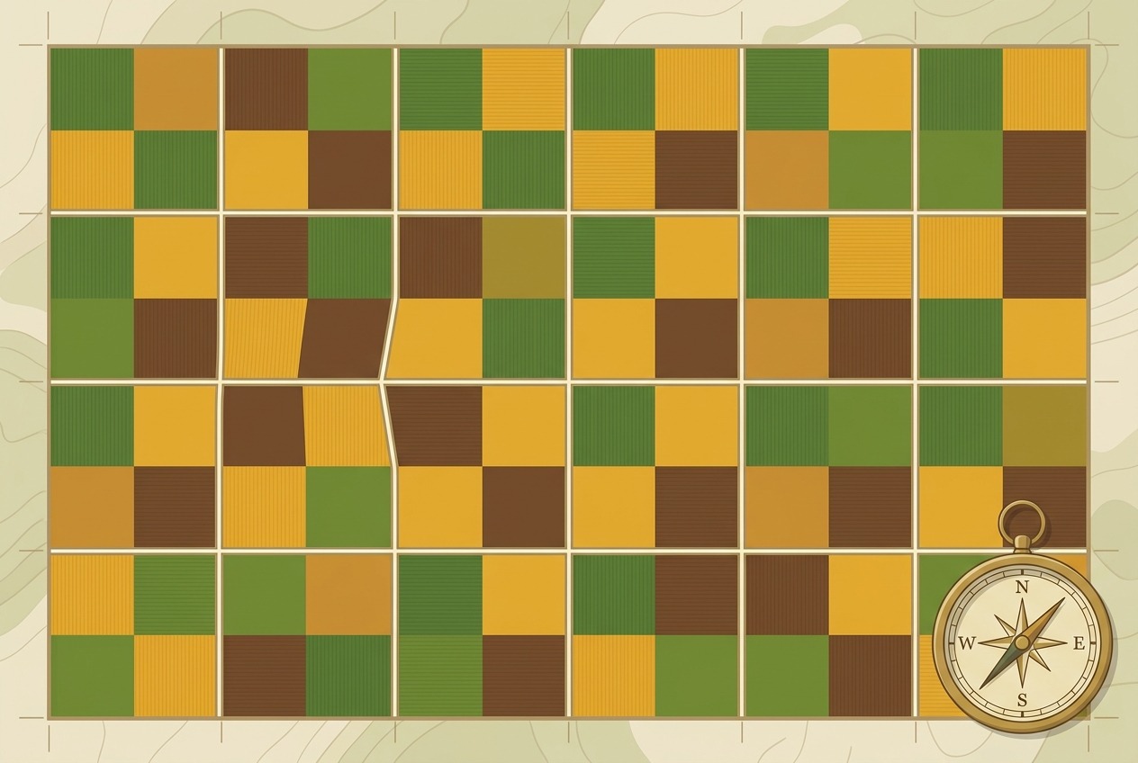
Look out the window on any flight over Iowa, Kansas, or Nebraska, and you’ll see something remarkable: an endless checkerboard stretching to the horizon. Green squares, brown squares, golden squares—each one almost exactly one mile on a side, divided by ruler-straight roads that run north-south and east-west with uncanny precision. This isn’t an accident of nature or the invisible hand of the market. It’s the fingerprint of a single piece of legislation passed in 1785, and it remains one of the largest human-made patterns visible from space.
A Blank Slate and a Big Idea
After the American Revolution, the young United States found itself cash-poor but land-rich. The Treaty of Paris in 1783 handed the new nation an enormous territory stretching west to the Mississippi River, and Congress needed a way to convert that land into revenue—fast. Selling land could pay off war debts, but first someone had to figure out how to describe, divide, and deed millions of acres of wilderness that no one had mapped.
The old method, used throughout the original colonies, was called “metes and bounds.” Property lines followed natural features: a boundary might run “from the large oak tree along the creek to the granite boulder.” It was intuitive but chaotic. Trees died, creeks shifted, boulders looked alike, and boundary disputes clogged the courts. Virginia alone was infamous for overlapping claims and endless litigation.
Thomas Jefferson, ever the Enlightenment rationalist, proposed something radically different: forget the landscape entirely and impose pure geometry on the continent. His committee’s proposal became the Land Ordinance of 1785, which established what we now call the Public Land Survey System (PLSS)—sometimes nicknamed the Jefferson Grid.
How the Grid Works
The system is elegantly hierarchical. Surveyors begin by establishing a principal meridian (a north-south line) and a baseline (an east-west line) that intersect at an initial point. From there, the land is divided into:
- Townships: squares measuring six miles by six miles, containing 36 square miles
- Sections: each township is divided into 36 sections of one square mile (640 acres) apiece
- Quarter sections: each section can be split into four 160-acre parcels—the famous “quarter section” that became the standard homestead claim
Sections within a township are numbered 1 through 36 in a boustrophedon pattern—back and forth like an ox plowing a field—starting in the northeast corner. Any parcel of land can be described precisely with a compact legal formula, such as “the NW ¼ of Section 12, Township 4 North, Range 7 West.” No oak trees required.
The very first survey under the new system began in September 1785 at the “Point of Beginning” on the Ohio River, where Ohio, Pennsylvania, and what is now West Virginia meet. Geographer Thomas Hutchins led the survey of the Seven Ranges in eastern Ohio, and from that modest start, the grid marched westward for more than a century, eventually covering roughly two-thirds of the continental United States—everything except the original thirteen colonies, Texas, and a few other areas with prior survey systems.
The Problem with Flat Maps on a Round Planet
Here’s where the story gets geometrically interesting. Jefferson’s grid assumes the Earth is flat. It isn’t. Lines of longitude—meridians—converge as they approach the North Pole, which means a township that’s exactly six miles wide at its southern boundary will be slightly narrower at its northern boundary. In the latitudes of the American Midwest, the discrepancy amounts to roughly 50 feet per township. Small, but it compounds. Stack townships northward for a hundred miles, and your “square” grid becomes noticeably skewed.
The surveyors’ solution was pragmatic rather than elegant: correction lines. Approximately every 24 miles (every four townships), surveyors reset the grid, re-measuring the full six-mile township width along a new standard parallel. The result is that north-south roads following section lines suddenly jog east or west—sometimes by a few dozen feet, sometimes by a hundred yards or more—before continuing on their way.
Drive the rural roads of Minnesota, the Dakotas, or Saskatchewan (Canada adopted a nearly identical system, the Dominion Land Survey), and you’ll encounter these mysterious doglegs. They’ve even earned a grim reputation: correction-line jogs on high-speed rural roads have historically been the sites of accidents when drivers expecting an endless straightaway suddenly met a T-intersection at night.
Quirks, Errors, and Whiskey
Early surveying was rough work. Crews dragged 66-foot Gunter’s chains through swamps and forests, battled insects and hostile terrain, and were paid by the mile—an incentive structure that didn’t always reward precision. Magnetic compasses were thrown off by iron deposits; chains stretched with use; some surveyors, by reputation, did their best work before lunch and their worst after the whiskey came out.
The results are baked into the landscape today. Some “square-mile” sections are noticeably lopsided. In parts of northern Michigan and Wisconsin, original surveys were so sloppy—or occasionally fabricated outright—that resurveys revealed sections varying by dozens of acres from their nominal 640. Yet legally, the original monuments placed by those first surveyors govern, errors and all. An imperfectly placed 1830s stake still defines property lines in 2025.
A Grid That Shaped a Society
The PLSS didn’t just organize land sales—it structured American life. Consider its cascading effects:
- Roads: Rural roads naturally followed section lines, producing the mile-interval road grids of the Midwest. Many Midwestern cities—Chicago, Indianapolis, Phoenix—have arterial streets spaced at one-mile intervals because they inherited section-line roads as they grew.
- Schools: The 1785 ordinance reserved Section 16 of every township for public education, creating a funding mechanism for schools across the frontier and embedding public education into the nation’s land policy from the start.
- Farms: The 160-acre quarter section became the default family farm under the 1862 Homestead Act, shaping settlement density, farm economics, and the distinctive dispersed pattern of Midwestern farmsteads—one house per quarter section, rather than the clustered villages of Europe.
- Center-pivot circles: Even the iconic crop circles of the Great Plains are grid children. Center-pivot irrigation systems are sized to fit inside quarter sections, inscribing green circles within brown squares.
Where the Grid Breaks Down
The grid’s rigid geometry meets its match in rugged terrain. In the mountains of Colorado or the canyons of Utah, section lines climb cliffs and cross rivers with indifference to topography—a source of endless headaches for landowners whose “square” parcel includes a 1,000-foot vertical drop. And in places like Louisiana, older French “long lot” surveys—narrow ribbons of land stretching back from rivers—survive as ghostly exceptions, visible in satellite imagery as fan-shaped patterns amid the squares.
A Monument You Can See from Orbit
The Jefferson Grid is arguably the largest single act of landscape design in human history—a rational, democratic, occasionally flawed geometry stamped across more than a billion acres. It reflects an eighteenth-century faith that reason could order the wilderness, and its consequences—good and bad—are still unfolding. So the next time you fly over the heartland and see that vast quilt of squares, remember: you’re looking at a 240-year-old law, written in the landscape itself.